Trained Mentors
We have well trained mentors to assist you to build your career in Aerial Mapping

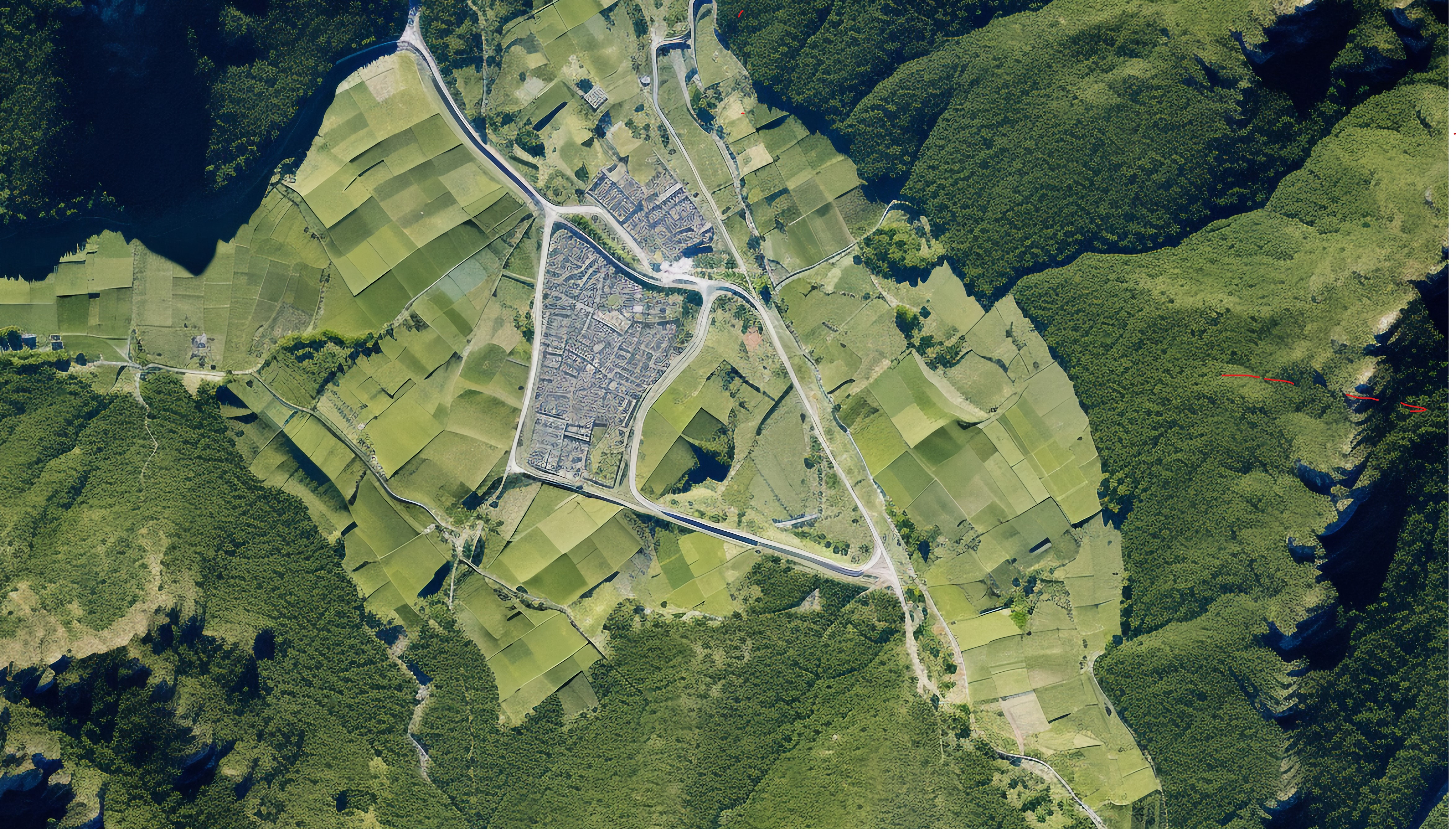
Aerial surveillance involves the use of aircraft, drones, or satellites to monitor, observe, and collect data over vast areas from the air. It provides a powerful tool for real-time or recorded monitoring of landscapes, infrastructure, and activities, enabling applications in areas such as security, environmental monitoring, disaster management, and military operations. By using advanced sensors such as high-resolution cameras, infrared, and LiDAR, aerial surveillance allows for the detailed observation of terrain, movement, and changes over time, often covering areas inaccessible or impractical to monitor from the ground. With the growing capabilities of UAVs and real-time data transmission, aerial surveillance has become an integral component of modern monitoring and decision-making processes.
7
6
✅ What is Aerial Mapping? Definition, history, and applications.
✅ Types of Aerial Mapping : Photogrammetry, LiDAR, Satellite Imaging.
✅ Aerial Platforms: Drones, aircraft, satellites.
✅ Regulations and Safety: Legal considerations and best practices for aerial operations.
✅ Introduction to GIS: Overview and relevance to aerial mapping.
✅ Coordinate Systems & Projections : Understanding spatial data and location accuracy.
✅ GIS Software Tools: Introduction to popular tools (e.g., QGIS, ArcGIS)
✅Drone Hardware for Mapping : Types of drones and cameras used for mapping.
✅ Sensors in Aerial Mapping:RGB, Multispectral, Hyperspectral, LiDAR sensors.
✅Flight Planning and Automation: Planning efficient drone flights using software.
✅ Introduction to Photogrammetry: Principles, techniques, and workflow.
✅ Capturing Data : Best practices for collecting high-quality imagery
✅ Post-Processing :Stitching images to create 2D maps (orthomosaics).
✅ Introduction to LiDAR:How it works and applications.
✅ Data Collection & Processing:Creating accurate 3D models and Digital Elevation Models (DEM).
✅ Comparing LiDAR and Photogrammetry: When to use which technique
✅ Analyzing Aerial Maps:Terrain analysis, feature extraction, and land use
✅ Digital Elevation Models (DEM): Creating and interpreting DEMs.
✅ Mapping Accuracy :Factors affecting precision and accuracy in aerial mapping.
✅Applications of Aerial Mapping:Agriculture, construction, environmental monitoring, disaster management.
✅ Case Studies: Real-world examples and projects
✅ Future Trends :AI, machine learning in mapping, autonomous aerial systems, and emerging technologies.
Remote Pilot Training Organisation Under UAS Rules – 2021.
We have well trained mentors to assist you to build your career in Aerial Mapping
Highly Qualified & DGCA Approved Instructors offering 1 to 1 Flying Lessons for Individual Attention.
We Provide Certificate with Validity of Maximum 10 years, as per UAS Rules – 2021.
Best in Class in Flight Simulators, High Quality, Built in NPNT and Make In India Drones.
The best classroom infrastructure includes modern digital tools combined with ergonomic furniture
A growing field that offers numerous career opportunities across various industries.
Send Request for Call Back