Trained Mentors
We have well trained mentors to assist you to build your career in Surveillance

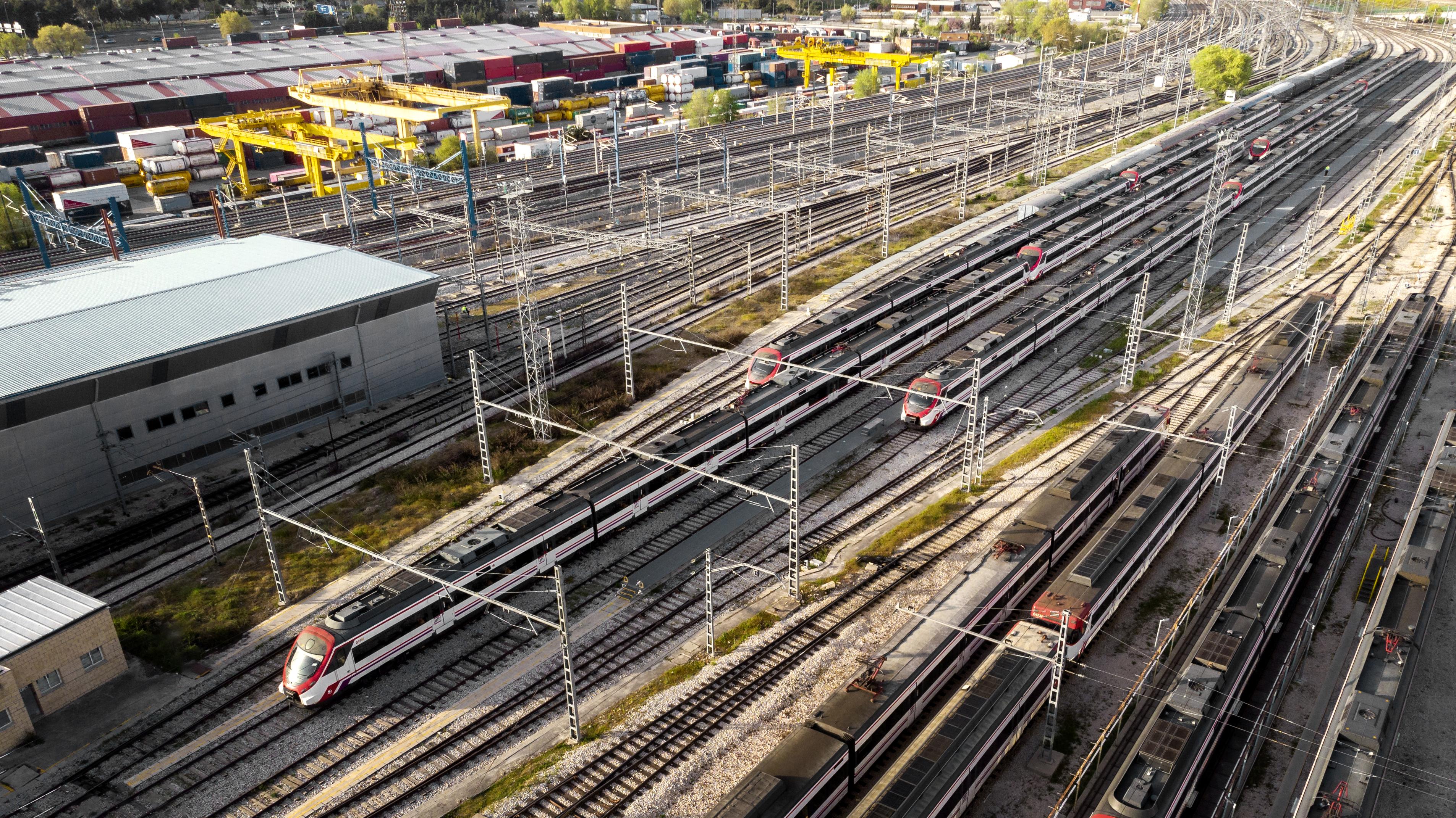
Railway and roadway surveying using drones has revolutionized the way infrastructure projects are planned, monitored, and maintained. By employing drones equipped with advanced sensors, cameras, and GPS technology, surveyors can quickly capture detailed aerial imagery and 3D data of large stretches of railways and roads with unprecedented accuracy. Unlike traditional surveying methods, drones enable faster data collection, reducing the need for physical inspections in hazardous or hard-to-reach areas. This technology allows for the creation of high-resolution maps, digital elevation models, and real-time monitoring, improving efficiency, safety, and cost-effectiveness in infrastructure development and maintenance.
7
6
3
✅ Overview of Drone Types and Technology
✅ Importance of Drones in Modern Surveying
✅ Components of a Drone Surveying System: Cameras, Sensors, GPS
✅ Drone Regulations and Compliance for Surveying (Local/International Laws)
✅ Basics of Railway and Road Alignment
✅ Traditional Surveying Methods vs. Drone Surveying
✅ Key Parameters: Elevation, Curvature, Grade, and Cross-sections
✅ Site Planning and Risk Assessment for Drone Surveys
✅ Setting Up a Drone for Railway Surveys
✅ Techniques for Capturing Railway Corridor Imagery and Data
✅ Capturing Railway Infrastructure: Bridges, Tunnels, and Stations
✅ Real-time Data Monitoring: Advantages and Challenges
✅ Best Practices for Road Corridor Mapping
✅ Data Collection for Road Design and Construction
✅ Use of Drones in Road Asset Management (pavement conditions, safety features)
✅ Understanding Traffic Flow Analysis through Aerial Data
✅ Introduction to Photogrammetry: Concepts and Software Tools
✅ Creating 2D Maps and 3D Models from Drone Imagery
✅ Elevation Models: DEM, DSM, and Contour Mapping
✅ Processing and Stitching Drone Data
✅ Introduction to LiDAR Technology for Railway and Road Mapping
✅ Advantages of LiDAR Over Traditional Imaging Techniques
✅ Using Thermal Imaging for Road and Railway Condition Assessment
✅ Case Studies: LiDAR and Thermal Imaging Applications
✅ Analyzing Drone Data for Decision Making
✅ GIS Integration for Railway and Road Data Visualization
✅ Generating Reports: Key Findings and Recommendations
✅ Practical Class Project: Planning and Executing a Mini Survey
Remote Pilot Training Organisation Under UAS Rules – 2021.
We have well trained mentors to assist you to build your career in Surveillance
Highly Qualified & DGCA Approved Instructors offering 1 to 1 Flying Lessons for Individual Attention.
We Provide Certificate with Validity of Maximum 10 years, as per UAS Rules – 2021.
Best in Class in Flight Simulators, High Quality, Built in NPNT and Make In India Drones.
The best classroom infrastructure includes modern digital tools combined with ergonomic furniture
A growing field that offers numerous career opportunities across various industries.
Send Request for Call Back