Crop Monitoring
Drones Reduces The Cost And Risks
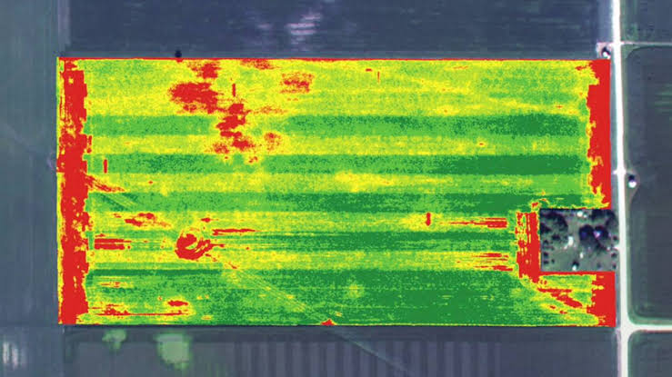
Early disease detection through drone-based imaging can boost crop yields by 25%. Timely intervention based on drone data ensures healthier, higher-quality crops. Agriculture drones reduce chemical usage by 35% by precisely targeting treatment areas, conserving natural resources and reducing pollution. Images and information about the state of the land, water, and atmosphere are captured by satellites with a variety of sensors. In agriculture, remote sensing and satellite imaging are used to check soil moisture levels, identify soil pests and diseases, and monitor crop health.
Email us
vayurathaexpotain ment@gmail.com
Call us


.png)
.png)