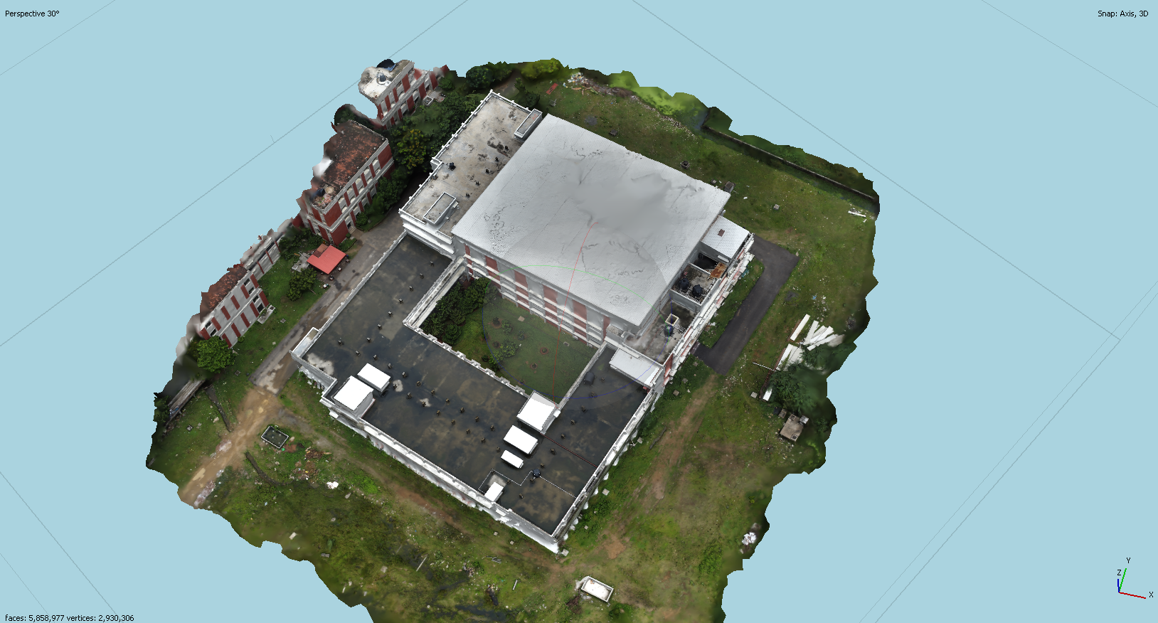
3D MAPPING
Drones Reduces The Cost And Risks
3D Mapping is growing in popularity, now with the ability to capture data using drones and then render that data into a fully realised 3D model the possibilities for structural survey and inspection are even more in demand.Survey drones generate high-resolution orthomosaics and detailed 3D models of areas where low-quality, outdated or even no data, are available. They thus enable high-accuracy cadastral maps to be produced quickly and easily, even in complex or difficult to access environments.
Email us
vayurathaexpotainment@gmail.com
Call us